-
San Jose – Panama Border
DRIVING TIME: 5.32 hoursKILOMETERS: 323MILES: 201HWY: CA 2 This is a long drive over the mountains into the lowlands of Costa Rica. Leaving San Jose, head for Cartago, CA 2. Once in Cartago, go through the town, and the road will veer right. There are no signs, so you may have to stop and ask. After you leave the city, you will ascend into the mountains again. This is a demanding drive with twists, turns, and potholes. Eventually, you will reach San Isidro in 3 to 4 hours. From San Isidro, you may visit Dominical on the coast or continue south toward Golfito and the Panamanian border. Leaving San Isidro,…
-
San Jose – Caribbean
DRIVING TIME: 3.34 hoursKILOMETERS: 201MILES: 125 Hwy: CA 1—CA 2 This is a beautiful drive through mountains (you actually go through a mountain), banana and mango plantations, and lush tropical forests. The major problem is finding your way through San Jose and to the Caribbean route. You want to follow any sign you see for Limon. Travel north, up Avenida Central, to the traffic circle in the town center. At the traffic circle, follow the road around to the left. This road takes you to the junction point where the road for Limon is located. Be prepared to ask for directions. Hotel & Eats Limon has another garden and yoga-centered hotel…
-
Costa Rica Border – San Jose
DRIVING TIME: 1.25 hoursKILOMETERS: 49.7MILES: 31HWY: CA 1 Follow the signs toward Alajuela and San Jose. This road leads you away from San Mateo and up into the highlands. The road is well-marked, but the ascent is steep. When you are close to San Jose, you will pass the airport, about 15 minutes from town. Plan your drive into San Jose on a weekday rather than during rush hour. The traffic can be horrific. Like all Latin American capitals, driving in San Jose is not for the weak or impatient. The roads are congested and confusing. Expect to pull over several times to ask for directions. Attendants at gas stations…
-
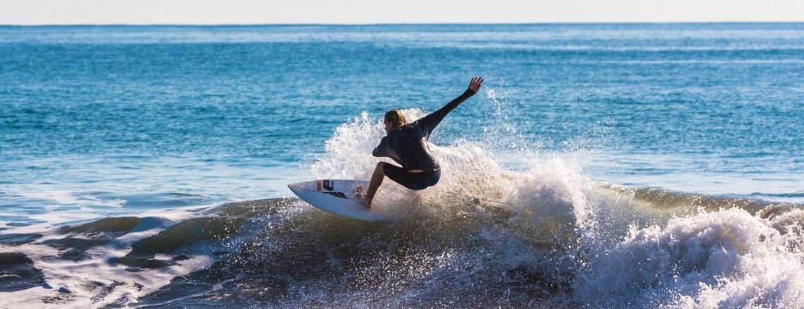
Costa Rica Border – Jaco & South
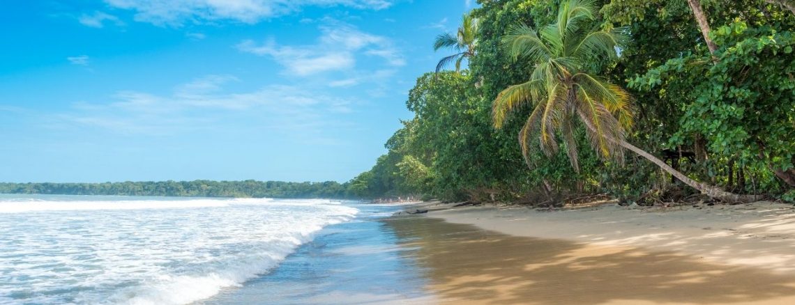
DRIVING TIME: 8.1 hoursKILOMETERS: 472MILES: 293HWY: CA 1 After finishing your entry requirements, follow the signs on CA 1 to Liberia. From Liberia, continue south 128 km to Esparza. At Esparza, head for San Mateo, which is the junction point for San Jose or the Pacific coast. Beach or city? Those traveling to the Pacific coast must turn right at the junction point of San Mateo and head for Jaco. The three main travel destinations on this route are Jaco, Quepos, and Dominical. All three locations are worth a visit. You can also drive to the Panamanian border via this route, but the roads are worse the further south you…
-
Costa Rica Border – Tamarindo
DRIVING TIME: 6.28 hoursKILOMETERS: 364MILES: 226HWY: CA 1 As mentioned above, you will come across several checkpoints traveling away from the Nicaraguan border. Show the officials the necessary paperwork, and you should be fine. From Peñas Blancas, follow the signs to Liberia. At Liberia, you can fill your gas tank and stomach before continuing to Tamarindo. In the town center, turn right at the major intersection and follow the signs to Tamarindo. This same route will take you to Coco Beach, Playa Junquillal, Samara, Nicoya, or any other location on the Nicoya Peninsula. There are so many great places to explore on the Nicoya Peninsula. If you see only one…