-
Drive To Mexico & Beyond
Should You Go? Nobody can answer that question but yourself. After driving to the tip of Baja California the first time, I instantly feel in love with traveling by car through foreign terrain. After several successive trips into Latin American—primarily Baja California, Mainland Mexico, and Costa Rica—I envisioned driving to the tip of South America. I envisioned it. Then I did it. Vision and action are your superpowers. Traveling by vehicle gives you the freedom to go where you want. However, you also have the added responsibility of maintaining and protecting your ride. My most treasured experiences took place hundreds of miles away from the popular tourist sites in places…
-
Drive To Costa Rica 101
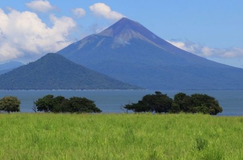
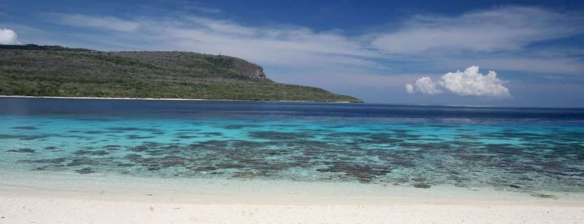
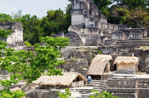
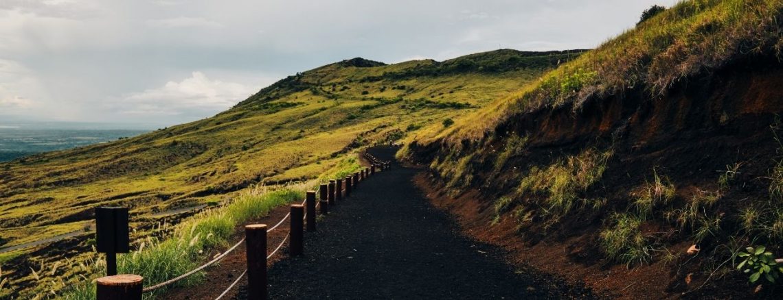
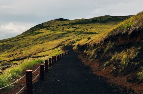
Can You Drive to Costa Rica? Yes, you can drive to Costa Rica from the US. The journey will take you through some beautiful scenery, and you’ll get to experience the culture and customs of Costa Rica firsthand. However, there are a few things to keep in mind before embarking on your road trip and this site will answer all your questions including but not limited to the following: travel insurance, gas stations, road conditions, road signs, speed limits, river crossing and many more. Costa Rica is full of national parks (Manuel Antonio, Monteverde), live volcanos (like Arenal), has two distinct coasts (Caribbean & Pacific), and amazing touristic areas to…
-
How To Get A Great Shave While Driving To Costa Rica
Driving to Costa Rica is no small core—it’s a long road and you’ll have to find time for personal care while on the road. This can be difficult, but if you’re prepared and have the right tools, it’s possible to get a great shave even while on the road. Here’s what you need to know before you leave for your long trip to Costa Rica: Invest in a beginner’s straight razor. This will be your best friend while driving to Costa Rica. It will give you a close shave and help you avoid nicks and cuts. Additionally, you won’t need to buy extra disposable razors while en route. You might…
-
San Jose – Panama Border
DRIVING TIME: 5.32 hoursKILOMETERS: 323MILES: 201HWY: CA 2 This is a long drive over the mountains into the lowlands of Costa Rica. Leaving San Jose, head for Cartago, CA 2. Once in Cartago, go through the town, and the road will veer right. There are no signs, so you may have to stop and ask. After you leave the city, you will ascend into the mountains again. This is a demanding drive with twists, turns, and potholes. Eventually, you will reach San Isidro in 3 to 4 hours. From San Isidro, you may visit Dominical on the coast or continue south toward Golfito and the Panamanian border. Leaving San Isidro,…
-
San Jose – Caribbean
DRIVING TIME: 3.34 hoursKILOMETERS: 201MILES: 125 Hwy: CA 1—CA 2 This is a beautiful drive through mountains (you actually go through a mountain), banana and mango plantations, and lush tropical forests. The major problem is finding your way through San Jose and to the Caribbean route. You want to follow any sign you see for Limon. Travel north, up Avenida Central, to the traffic circle in the town center. At the traffic circle, follow the road around to the left. This road takes you to the junction point where the road for Limon is located. Be prepared to ask for directions. Hotel & Eats Limon has another garden and yoga-centered hotel…
-
Costa Rica Border – San Jose
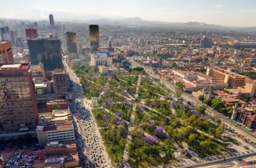
DRIVING TIME: 1.25 hoursKILOMETERS: 49.7MILES: 31HWY: CA 1 Follow the signs toward Alajuela and San Jose. This road leads you away from San Mateo and up into the highlands. The road is well-marked, but the ascent is steep. When you are close to San Jose, you will pass the airport, about 15 minutes from town. Plan your drive into San Jose on a weekday rather than during rush hour. The traffic can be horrific. Like all Latin American capitals, driving in San Jose is not for the weak or impatient. The roads are congested and confusing. Expect to pull over several times to ask for directions. Attendants at gas stations…
-
Costa Rica Border – Jaco & South
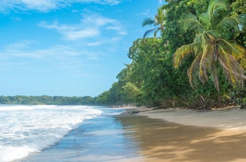
DRIVING TIME: 8.1 hoursKILOMETERS: 472MILES: 293HWY: CA 1 After finishing your entry requirements, follow the signs on CA 1 to Liberia. From Liberia, continue south 128 km to Esparza. At Esparza, head for San Mateo, which is the junction point for San Jose or the Pacific coast. Beach or city? Those traveling to the Pacific coast must turn right at the junction point of San Mateo and head for Jaco. The three main travel destinations on this route are Jaco, Quepos, and Dominical. All three locations are worth a visit. You can also drive to the Panamanian border via this route, but the roads are worse the further south you…
-
Costa Rica Border – Tamarindo
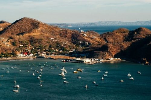
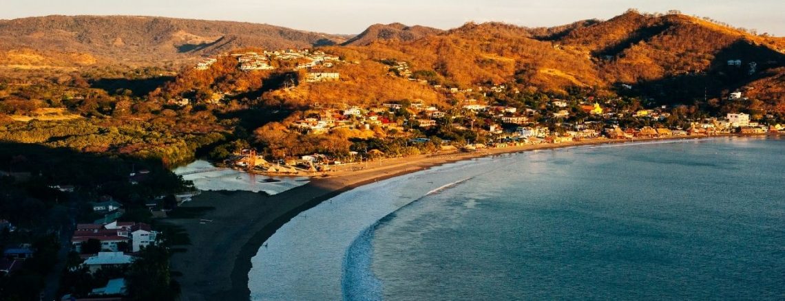
DRIVING TIME: 6.28 hoursKILOMETERS: 364MILES: 226HWY: CA 1 As mentioned above, you will come across several checkpoints traveling away from the Nicaraguan border. Show the officials the necessary paperwork, and you should be fine. From Peñas Blancas, follow the signs to Liberia. At Liberia, you can fill your gas tank and stomach before continuing to Tamarindo. In the town center, turn right at the major intersection and follow the signs to Tamarindo. This same route will take you to Coco Beach, Playa Junquillal, Samara, Nicoya, or any other location on the Nicoya Peninsula. There are so many great places to explore on the Nicoya Peninsula. If you see only one…
-
Exiting Nicaragua
DRIVING TIME: 43 minsKILOMETERS: 43.6MILES: 27HWY: CA 1—CA 2 If you thought entering Nicaragua was difficult, you are in for a surprise because exiting is even more of a headache. Again you will need a guide. Any of the teenagers will do. There are various stops you need to make. One with Migracion, one with the transit police, and one with the Aduana. Everyone will request their fees. The Aduana official will request your paperwork and then send you down the road for copies of your passport, car title, and driver’s license. Once all the copies are delivered and the official finishes recording, stamping, and officiating, you are on your…
-
Managua – San Juan del Sur
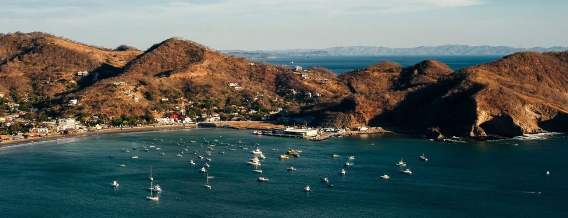
DRIVING TIME: 2.27 hoursKILOMETERS: 143MILES: 88HWY: CA 1—CA 2 When entering Managua, stay on the straight-away and follow the signs to Central. About 10 minutes after entering the city, you will see a sign that reads Jinotepe CA 2. Steer left. This is the road you want. Follow this road until you meet a traffic circle. Follow the traffic circle around and exit UNI-UNAN. There is a large sign on the right. This road will eventually lead out of town and onto the road for Penas Blancas and San Juan del Sur. Note that the Interamerican Hwy changes from CA 1 to CA 2 until the border with Costa Rica.…
You May Also Like
Esquipulas – San Pedro Sula
Nicaraguan Border – Managua
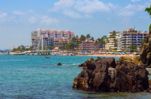
Mazatlán – Puerto Vallarta
-
Nicaraguan Border – Managua
DRIVING TIME: 3.27 hoursKILOMETERS: 202MILES: 125HWY: CA 1 The roads in Nicaragua are the worst of any in all of Central America. As mentioned above, it is difficult to get lost because CA 1 is the only major road running through the country. Follow the signs to Managua—if you find any. Depending on how long the border entry and exit procedures take, you can make it through Nicaragua in one day. You will be given a transit visa for three days. My recommendation is to travel to San Juan del Sur, spend a day or two in this incredible town, and then cross the border into Costa Rica. San Juan…