-
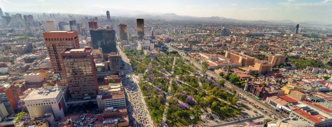
Departing Mexico
Tell the border official that you will return to Mexico before your entry permit expires. Check your Mexican Entry Permit before leaving the country. Most are valid for six months. Aduana Checking out of Mexico is easy. Present your paperwork to the guard at the guard station immediately before the border. You won’t miss the border. There is an iron gate blocking your entry into Guatemala. There are no signs. Hence, just look for the gate. This is a very informal border crossing compared to the others and is worth the extra couple of hours’ drive. When I arrived at the border, I was the only car crossing, with no…
-
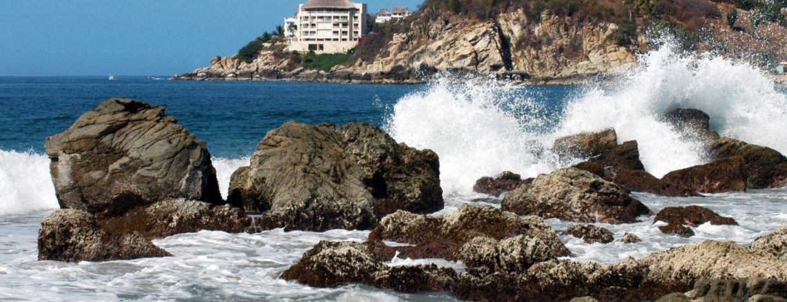
Puerto Escondido – Tapachula (Route 2)
DRIVING TIME: 10.37 hoursKILOMETERS: 696MILES: 433HWY: CA 200 It’s 10 hours from PE to Tapachula. It’s a long haul. I recommend splitting this day and stopping in Salina Cruz or one of the smaller villages about halfway into the trip. Once you get to Tapachula, the border crossing is about 25 minutes away. From Puerto Escondido toward Tehuantepec on CA 200. You want to head for Salina Cruz and then for Juchitan and Arriaga. Stay on CA 200 and head for Tapachula and the border. You can enter the border at Talisman or Cuidad Hidalgo. The drive along Highway 200 to Tapachula is picturesque—it’s a beautiful scenic country, and an…
-
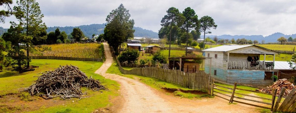
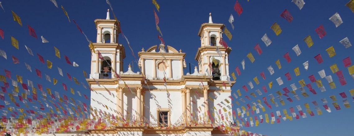
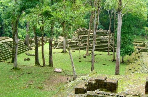
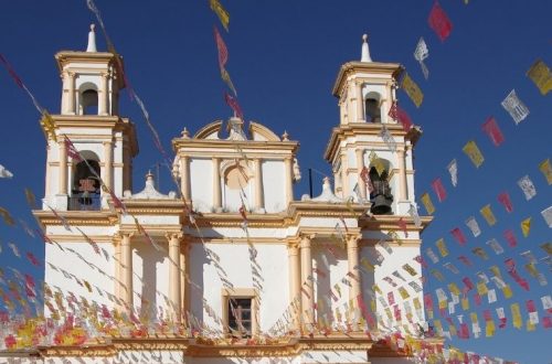
San Cristobal de Las Casas – Cuauhtémoc (Route 1 Cont.)
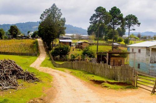
DRIVING TIME: 9.55 hoursKILOMETERS: 651MILES: 404HWY: CA 190 Leaving San Cristobal de Las Casas, follow the signs for Comitan out of the city and on to Cuauhtémoc. Cuauhtémoc is located on the border of Mexico and Guatemala. Fill your tanks at any gas station you come across. When you see the iron gate across the road, you’ll know you are at the Mexican and Guatemalan border. Hotels & Eats During this short drive, do not forget to stop and try out some street food. San Cristobal has great hams, and the Chiapas area is known for its great tamales. The range of variety for tamales in this town is insane.…
-
Puerto Escondido – San Cristobal de Las Casas (Route 1)
DRIVING TIME: 10.1 hoursKILOMETERS: 640MILES: 398HWY: CA 200 & CA 195 You got two options at this juncture—go into the mountains and spend some time in San Cristobal de Las Casas or drive south along the coast through Salina Cruz. For the coastal route, jump to the section Puerto Escondido to Tapachula. After leaving Puerto Escondido, the roads are bad. In fact, from Puerto Escondido to San Cristobal de Las Casas, they are extremely bad. This is a confusing drive, so follow these directions and your maps carefully. You want to head for Salina Cruz and then for La Ventosa. At Salina Cruz, the road changes to CA 185 for…
-
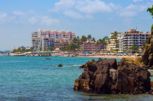
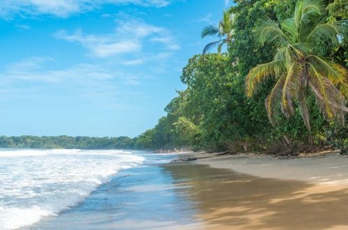
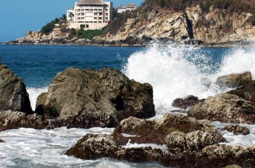
Acapulco – Pinotepa Nacional – Puerto Escondido
DRIVING TIME: 7.7 hoursKILOMETERS: 389MILES: 242HWY: CA 200 Okay, you’re on your way to Pinotepa Nacional. When you first leave Acapulco, the sensation is one of confusion as to whether you have chosen the correct road because there are no signs, and you will pass through several small towns. Yet if you turned off the main highway and followed the Pinotepa N. sign, you have nothing to fear except that the roads are wicked for several hours after Acapulco, but after Pinotepa, they improve greatly. This is a straightforward drive, about 8 hours, with many potholes. Hotel & Eats In Pinotepa Nacional, there is the Motel Carmona right at the…
-
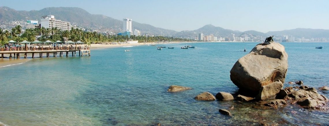
Ixtapa & Zihuatanejo – Acapulco
DRIVING TIME: 4.17 hoursKILOMETERS: 250MILES: 155HWY: CA 200 Leaving Zihuatanejo, proceed up the hill out of town onto the main throughway. Follow the signs to Acapulco, and you’re still on CA 200. Going into Acapulco is a nightmare. The roads are horrible, the traffic is horrendous, and there are literally thousands of people crammed into this coastal town. Nevertheless, there are many things to do and an endless amount of sun, fun, and adventure. Getting out of Acapulco is an art in itself. Pay close attention to these directions, or you will get lost. Head south and up the hill. If you are near the beach, you must drive…
-
Puerto Vallarta – Ixtapa & Zihuatanejo
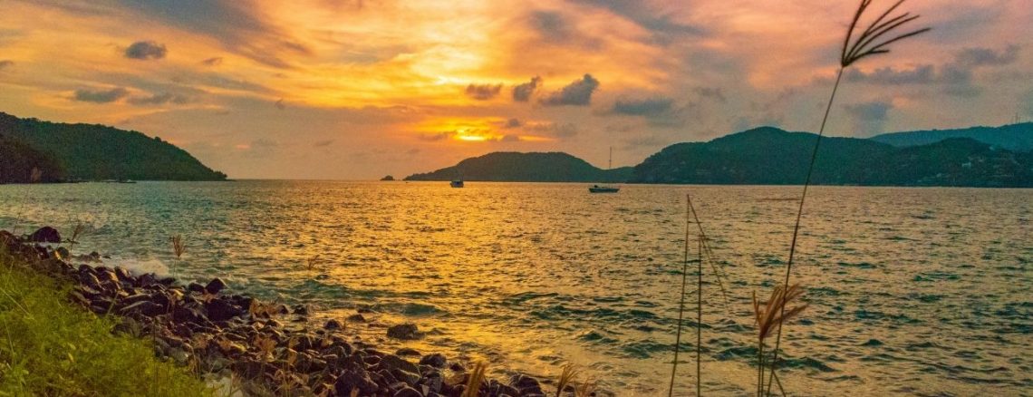
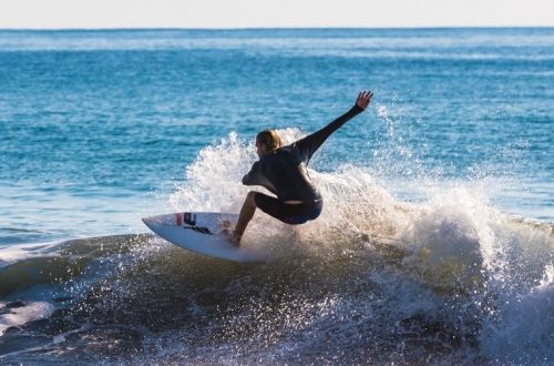
DRIVING TIME: 11.45 hoursKILOMETERS: 855MILES: 531HWY: CA 200 This portion of the trip is the most beautiful and dangerous and entails the longest and most demanding driving of the entire trip. Dangerous because you are traveling through the mountains of Michoacan, and the roads wind, twist and turn for most of the trip. You can expect your average speed to be between 40 and 50 miles per hour for the entire journey. There are animals, potholes, and speed bumps galore. Nevertheless, you will see some of the most awe-inspiring coastlines of the entire voyage. The beaches are radiant, powerful, and peaceful. The surfing along this stretch is magnificent. This trip…
-
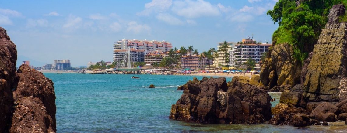
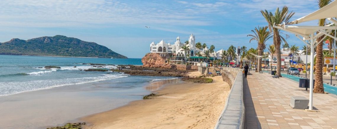
Mazatlán – Puerto Vallarta
DRIVING TIME: 6.37 hoursKILOMETERS: 439MILES: 27HWY: CA 15 & CA 200 Do not take the coastal road to Puerto Vallarta. It is the worst road of the entire trip. There is a fork in the road about halfway between Mazatlán and Puerto Vallarta. Stay on the road to Tepic and proceed to Puerto Vallarta via this route. I asked one of the highway police which was the shorter route at the fork in the road, and the officer said that the coastal route was shorter. He failed to mention that there are about one hundred speed bumps and potholes. The coastal route is about 100 km shorter. However, the roads…
-
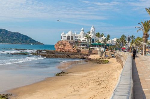
Obregon – Mazatlán
DRIVING TIME: 7.47 hoursKILOMETERS: 632MILES: 393HWY: 15 I had some bad vibes on this road. I stopped at what appeared to be a federal inspection station (some of the upper states have inspection roadblocks when entering or leaving the state—I didn’t run across any in the lower states after Puerto Vallarta). Two men looking somewhat official came to my passenger-side door and opened it. After some introductions, one of the two men opened the glove compartment and started rummaging around. By this time, I realized that this so-called official was not so official. Thus I ended the conversation. However, this individual had already taken my flashlight and thanked me for…
-
Guaymas – Obregon
DRIVING TIME: 1.43 hoursKILOMETERS: 129MILES: 80HWY: 15 This stretch of highway extends into the mountains utilizing a road in good condition. The driving is straightforward without too much confusion. Once you leave Guaymas, follow the signs for Obregon and Navojoa. While driving along this section, I was really tired, and I pulled off to the side of the road, in the middle of a mud pit, for some shuteye. I slept for about three hours, after which the federal highway police awoke me. They said something indecipherable over the intercom and sounded their siren until I popped my head out of the window of my truck. I waived, smiled, and…